Willow Point & Nearby Communities seawall repair
For a Willow Point property, identify the exact community and shoreline location before planning repairs. Use the local guide to organize access, approvals and questions for an assessment.
Describe your project on this page ↓Get to know your waterfront
Willow Point is more than a single neighborhood label. The developer’s map distinguishes Willow Point, Glynmere, Willow Glynn and The Willows around Willow Point Road and Pitchford Hollow. The Willows also includes water-access homesites. Before budgeting a private wall, confirm that your deed includes the shoreline and identify any common-area or shared-dock responsibility.
Willow Point community map · The Willows neighborhood · Russell Lands interactive map · Lakeshore use permit request and FAQ
Separate private frontage from shared amenities
Confirm the shoreline ownership before ordering an assessment or construction quote. A water-access property may use a common bank or dock managed by another party. Once the responsible owner is identified, mark the work limits and any shared approach on the survey.
- Separate private wall repairs from common-area work.
- Identify paths, irrigation and landscaping affected by access.
- Give the contractor the applicable architectural approval requirements.
For a private wall, ask whether visible stone is the retaining structure or a finish over another system. Request a clear explanation of what a proposed masonry repair will address and what remains unassessed behind the face.
Prepare a seawall assessment and organize the project budget.
What could the work cost?
Ask about gate access, approved delivery routes, tree protection and finish review. Keep these as confirmed conditions of your parcel rather than assuming one policy covers every Willow Point community.
National price ranges help you start a budget. They are not Lake Martin quotes; your wall’s height, condition and access can change the total.
Compare quotes and plan a budget →Find the relevant permits and records
| Starting point | What to resolve | Prepare and look up |
|---|---|---|
Alabama Power Martin Shoreline | Shoreline construction, repair and modification. | Deed, sketch and full scope. 256-825-0053. |
Local jurisdiction | Confirm the parcel and applicable building, floodplain and access review. | Use the office links and the parcel record; do not rely on a postal town. |
ADEM construction stormwater | Non-exempt Lake Martin disturbance, including work below one acre. | Disturbance map, location and complete activity description. |
Separate private frontage from shared amenities
These local records identify the questions to resolve. A neighborhood description does not establish conditions or approval for a particular lot.
Read the right map
Use the Willow Point community map to identify the neighborhood and approach road. For the construction boundary, use the survey and recorded property documents.
Water access versus waterfront
A water-access lot can have different rights from a lot with private shoreline. Confirm who owns and maintains the bank or dock before asking a contractor to price work.
Neighborhood permission
Get the applicable association or architectural requirements before ordering materials. Alabama Power’s application process asks for applicable neighborhood approvals.
Plan your Willow Point & Nearby Communities project
Add the parcel location, the visible concern and any access or timing constraints.
Clear guidance for your shoreline project.
Willow Point & Nearby Communities project questions
Do The Willows and Willow Glynn use the same approval?
Do not assume that. Identify your development and obtain its current requirements. A community map establishes names and location, not identical covenants.
Does a dock right include the seawall?
Not necessarily. Read the deed, easements and association documents to establish ownership and maintenance duties before ordering work.
Keep planning
Nearby waterfront guides
Show sourcesHide sources
- Willow Point community mapSource reviewed 2026-11-04 · official indexed text
- The Willows neighborhoodSource reviewed 2026-11-04 · official indexed text
- Russell Lands interactive mapSource reviewed 2026-11-04 · official indexed text
- Lakeshore use permit request and FAQSource reviewed 2026-11-04 · official indexed text
- Martin, Yates & Thurlow residential guidelinesSource reviewed 2026-11-04 · official indexed text
- Alabama Power programmatic general permitSource reviewed 2026-11-04 · official indexed text
- Tallapoosa County Building DepartmentSource reviewed 2026-11-04 · official indexed text
- Lake Martin special construction stormwater ruleSource reviewed 2026-11-04 · official indexed text
Explore nearby areas.
Willow Point & Nearby Communities is highlighted. Choose a place for its shoreline guide and local permit contacts.
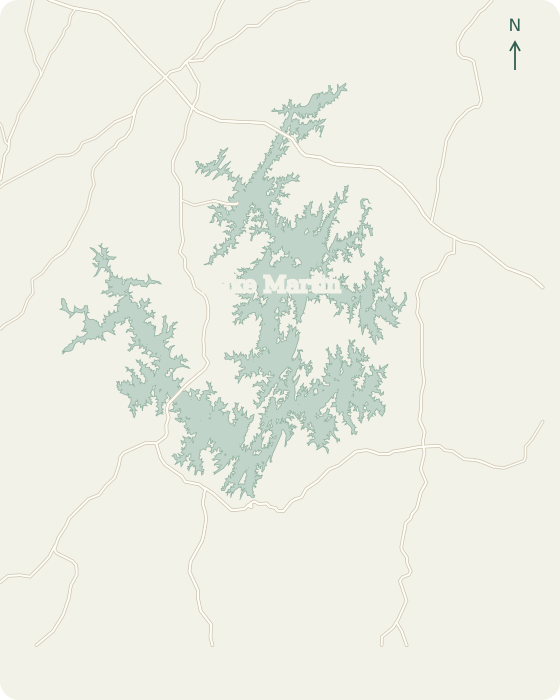 Alexander CityDadevilleEclecticJacksons GapBlue Creek StillWatersWillow PointKowaliga TrilliumThe Ridge WindermereReal Island Equality2 mi
Lake Martin, Alabama © OpenStreetMap
Map sources
Names link to area guides. Lines connect them to verified orientation landmarks; they do not show property or permit boundaries.
- Alexander City center
- Dadeville center
- Eclectic center
- Jacksons Gap center
- Harbor Pointe Marina
- Willow Point Golf & Country Club
- Kowaliga
- The Ridge Marina
- Real Island locality
Road context: U.S. Census Bureau, 2025 TIGER/Line.