The Ridge & Windermere seawall repair
The Ridge and Windermere area includes several separately named communities. Identify yours first so you can check the right design rules, access arrangements and shoreline approvals.
Describe your project on this page ↓Get to know your waterfront
The Ridge, Ridge Island, Windermere, Windermere West and Windover are separately named on the developer’s lake map. Their proximity does not make a single permit or access plan transferable between parcels. At a house with steps, a dock landing and landscaped terraces, begin by mapping how the shoreline work connects to everything above and beside it.
The Ridge neighborhood · Russell Lands history and developments · Russell Lands interactive map · Martin, Yates & Thurlow residential guidelines · Lakeshore use permit request and FAQ
Coordinate terraces, dock landings and wall transitions
Draw the wall together with the dock landing, stairs and landscaped terraces. Identify which connections would be removed, supported or rebuilt. Ask each trade to state where its responsibility begins and ends so reconnection work does not fall between proposals.
- Mark lift wiring, water lines, lighting and drainage outlets.
- Identify pedestrian access that must stay open or be replaced temporarily.
- Confirm authorization before using any shared marina or community facility.
Request separate allowances for shoreline structure, utility work and landscape restoration. A visually continuous lakefront can contain several structural systems; the assessor should explain which one is causing the concern.
Prepare a seawall assessment and organize the project budget.
What could the work cost?
Compare the price of coordinated work against separate trade visits. Name who removes and reinstalls dock connections, lighting, railings and irrigation, and who signs off each part.
National price ranges help you start a budget. They are not Lake Martin quotes; your wall’s height, condition and access can change the total.
Compare quotes and plan a budget →Find the relevant permits and records
| Starting point | What to resolve | Prepare and look up |
|---|---|---|
Alabama Power Martin Shoreline | Shoreline construction, repair and modification. | Deed, sketch and full scope. 256-825-0053. |
Local jurisdiction | Confirm the parcel and applicable building, floodplain and access review. | Use the office links and the parcel record; do not rely on a postal town. |
ADEM construction stormwater | Non-exempt Lake Martin disturbance, including work below one acre. | Disturbance map, location and complete activity description. |
Coordinate terraces, dock landings and wall transitions
These local records identify the questions to resolve. A neighborhood description does not establish conditions or approval for a particular lot.
Separate neighborhood names
Use the exact neighborhood and parcel identification in the brief. A map or marketing address does not settle the applicable association or local office.
Shared facilities
The Ridge has community amenities and a marina. Ask the relevant operator before assuming any common facility can be used for construction loading, storage or access.
Complete drawing
Include steps, landings, dock connections, returns and all proposed changes on the shoreline sketch. A wall drawn in isolation can leave interface work out of the review.
Plan your The Ridge & Windermere project
Add the parcel location, the visible concern and any access or timing constraints.
Clear guidance for your shoreline project.
The Ridge & Windermere project questions
Can a marina nearby be assumed available to a contractor?
No. Establish permission, operating restrictions and any charge directly with the operator before relying on that access route.
Should adjoining shoreline owners use one design?
They can coordinate the discussion, but each property needs its own ownership, condition and approval checks. A shared schedule is not a shared permit.
Keep planning
Nearby waterfront guides
Show sourcesHide sources
- The Ridge neighborhoodSource reviewed 2026-11-04 · official indexed text
- Russell Lands history and developmentsSource reviewed 2026-11-04 · official indexed text
- Russell Lands interactive mapSource reviewed 2026-11-04 · official indexed text
- Martin, Yates & Thurlow residential guidelinesSource reviewed 2026-11-04 · official indexed text
- Lakeshore use permit request and FAQSource reviewed 2026-11-04 · official indexed text
- Alabama Power programmatic general permitSource reviewed 2026-11-04 · official indexed text
- Tallapoosa County Building DepartmentSource reviewed 2026-11-04 · official indexed text
- Lake Martin special construction stormwater ruleSource reviewed 2026-11-04 · official indexed text
Explore nearby areas.
The Ridge & Windermere is highlighted. Choose a place for its shoreline guide and local permit contacts.
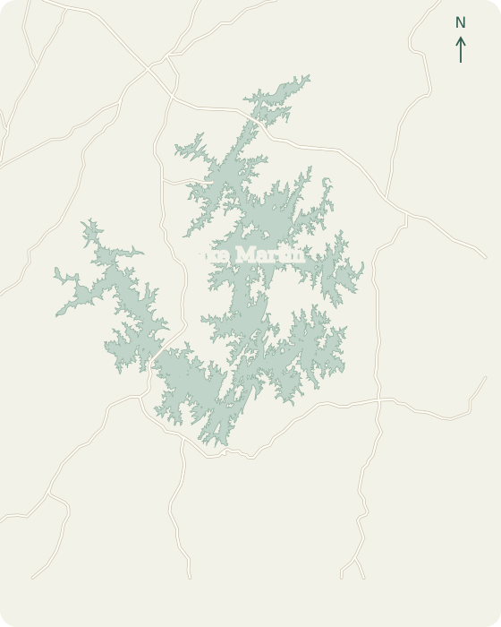 Alexander CityDadevilleEclecticJacksons GapBlue Creek StillWatersWillow PointKowaliga TrilliumThe Ridge WindermereReal Island Equality2 mi
Lake Martin, Alabama © OpenStreetMap
Map sources
Names link to area guides. Lines connect them to verified orientation landmarks; they do not show property or permit boundaries.
- Alexander City center
- Dadeville center
- Eclectic center
- Jacksons Gap center
- Harbor Pointe Marina
- Willow Point Golf & Country Club
- Kowaliga
- The Ridge Marina
- Real Island locality
Road context: U.S. Census Bureau, 2025 TIGER/Line.