Find your lake area, then confirm the exact parcel. A mailing address, neighborhood name and permitting jurisdiction can describe different boundaries.
Around Lake Martin
Find your corner of the lake.
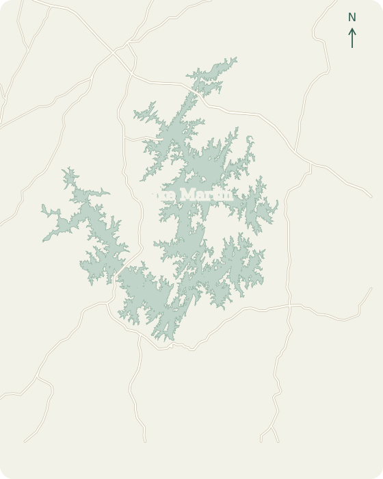
Choose a place on the map or browse by lake region. Find local permit contacts and practical guidance for your shoreline.
An Alexander City address is a starting point, not a permit determination. On the north and west lake, distinguish the city boundary, the county parcel and the Alabama Power shoreline permission before asking for a construction price. Wind Creek access and the River North side help orient the project, but a public ramp is not an approved contractor staging area.
Alabama Power’s Martin shoreline office is on South Tallassee Street in Dadeville. The city Building Department is a separate office with a different role. Some lake homes with Dadeville mailing addresses are outside the city boundary. Confirm your parcel location, then ask each office which parts of your project it needs to review.
Check town limits, floodplain and the approach road
Eclectic sits south of Lake Martin, while many lake properties use an Eclectic mailing address. The town’s published permit process and Elmore County’s rural-property guidance are different. Resolve the actual jurisdiction before assuming either applies. For shoreline work, also keep Alabama Power and the special ADEM land-disturbance review on the checklist.
Start with the exact parcel and cove for a Jacksons Gap or Sandy Creek property. Regional maps identify the community, while ADEM lists Sandy Creek as a Lake Martin waterbody segment. These sources help you locate the project. The soil, wave exposure and access still need to be checked at your own lot.
Keep the ARC scope aligned with the construction scope
Inside StillWaters, the association’s approval is a real extra step in a shoreline project. Its fee schedule distinguishes a repair within the original scope from expanded work. Around Blue Creek, first determine whether the parcel is in that association, another development or neither. A nearby marina or a Dadeville address does not answer the ownership or covenant question.
Willow Point is more than a single neighborhood label. The developer’s map distinguishes Willow Point, Glynmere, Willow Glynn and The Willows around Willow Point Road and Pitchford Hollow. The Willows also includes water-access homesites. Before budgeting a private wall, confirm that your deed includes the shoreline and identify any common-area or shared-dock responsibility.
Kowaliga and Trillium combine wooded lake lots, established access and shoreline projects where the route to the water matters as much as the visible wall. Russell Lands describes Trillium’s mature timber and gently rolling land. That is a neighborhood description, not a soil report. Plan the specific slope, tree protection and restoration before choosing how equipment will reach the shore.
Coordinate terraces, dock landings and wall transitions
The Ridge, Ridge Island, Windermere, Windermere West and Windover are separately named on the developer’s lake map. Their proximity does not make a single permit or access plan transferable between parcels. At a house with steps, a dock landing and landscaped terraces, begin by mapping how the shoreline work connects to everything above and beside it.
Resolve county and mobilization before selecting a bid
On the Equality, Parker Creek and Real Island side, be precise about the parcel and access route. Regional and tourism maps distinguish these places and their marina locations, but the Equality mailing area is not a substitute for the county record. Confirm whether the property is on the Elmore or Coosa side and which jurisdiction handles the proposed upland work.